61st Street to the Passyunk Avenue Bridge

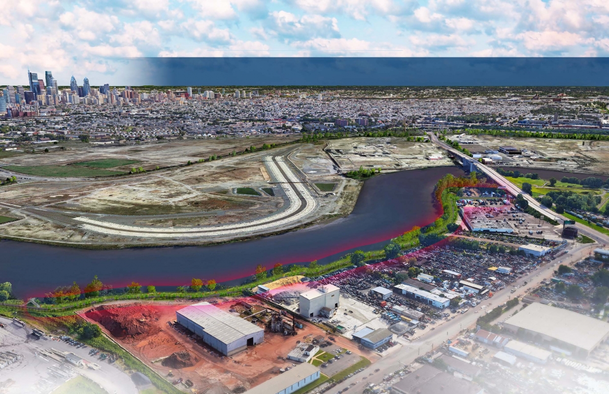
SRDC is working with the City to extend Schuylkill Banks an additional 4,500 feet south to connect to the intersection of Passyunk Avenue and 61st Street in Southwest Philadelphia. The proposed trail alignment is shown below and would travel along the river from the southernmost point of the trail, behind several industrial properties, through a large undeveloped area, and under the Passyunk Avenue Bridge before connecting to the street network. This would allow trail users safe access to the pedestrian and cyclist infrastructure on Passyunk Avenue and the City's planned infrastructure improvements for Essington Avenue and Bartram Avenue. The project would also include a new park at the base of the Passyunk Avenue Bridge, which is shown in the above rendering taken from PIDC's Lower Schuylkill Master Plan.
This project is Phase II of the larger Bartram's to Passyunk trail and greenway extension project. Phase I involved constructing 1,800 feet of trail, 1.6 acres of greenway, a fishing pier, and an overlook. Learn more about Phase I here.