Weekend Trip on the "Completed" Schuylkill River Trail

It’s early morning and you are packing up the remaining supplies you need for your planned trip on the 120-mile Schuylkill River Trail. You and your travel mates decided to start at the northernmost point of the trail in Frackville which is in the middle of Pennsylvania’s coal region. You arrive at the trail head at dawn and start your journey south. It’s quiet and sparse (partially because of the State Correctional Institution near the trail head), and you are excited for what lies ahead! Up here, the trail is an on- and off-road route that follows Mill Creek past tiny towns and anthracite coal fields before meeting up with the Schuylkill River in Pottsville. You wind along with the river through forested State Game Lands, cross over the Appalachian Trail, and pass the Pennsylvania Dutch heritage town of Hamburg.
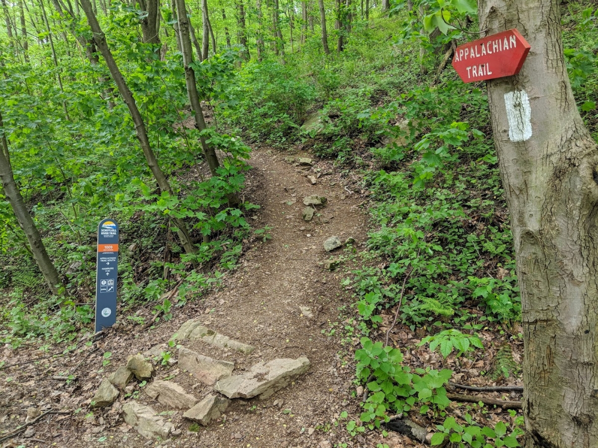 Photo of the intersection of the Schuylkill River Trail and Appalachian Trail. Image courtesy of Michael Caton.
As the trail continues south you pass farmland and riparian buffers, explore historic Swedish settlements and lock houses built in the 1800s by the Schuylkill Navigation Company, and take a slight detour and climb up Mount Penn to seek views of Reading from their mountaintop Pagoda. From there the trail takes you through tree groves and industrial towns. You see the Limerick Generating Station in Pottstown bellow out steam as the Schuylkill River cools its reactors, and you sneak glimpses of the storied Pennhurst Asylum through dense riverfront vegetation.
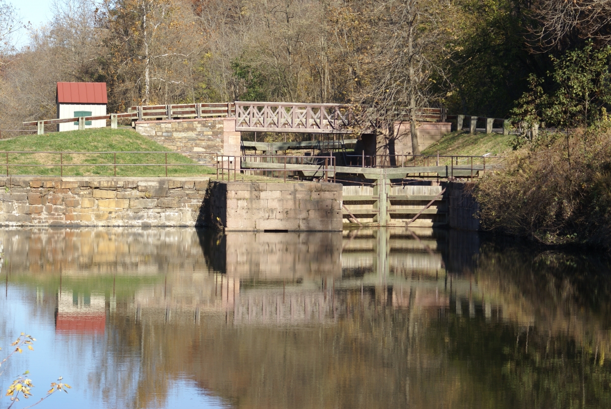 Photo of Lock 60 at the Schuylkill Canal Park. Image courtesy of J Clear.
You have covered roughly 80 miles by the time you reach Phoenixville, a town like many others along this route that owes its growth to the Schuylkill River. Back out on the trail, you pass through the rolling hills of the Lower Perkiomen Valley Park and Valley Forge National Historic Park, and the ever-expanding King of Prussia and Conshohocken. You cross the train tracks at the former Shawmont Station and travel along the Manayunk Canal Towpath viewing old canal locks and ruined lock houses as you head further into Philadelphia.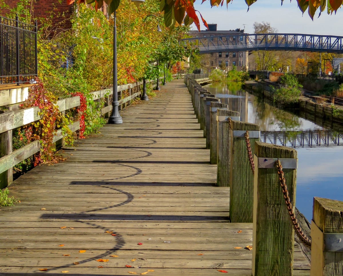 Photo of Manayunk Canal Towpath.
After passing the iconic East Falls Bridge, the trail takes you into the 650-acre East Fairmount Park where you see historic mansions, a hill-top cemetery, countless statues, boathouses, and an historic water pumping station. You pass skateboarders, sunbathers, kayakers, anglers, picnickers, dogs, bridges, and skyscrapers, before heading out on a boardwalk over the river. The trail returns to land for a quarter mile then heads back out over water for another quarter mile on an iconic cable supported bridge. You explore the meadows along the Grays Ferry Crescent before crossing over the Schuylkill River on a swing bridge, learning about the history of the crossing as you go. Once on the west side of the river, you meander through dense trees, open grasslands, historic Bartram’s Garden, and stop to take in the views at Passyunk Point Park. From here, the trail takes you through dense industrial land, ending at a Revolutionary War relic, Fort Mifflin, and the confluence of the Schuylkill and Delaware rivers. What a journey!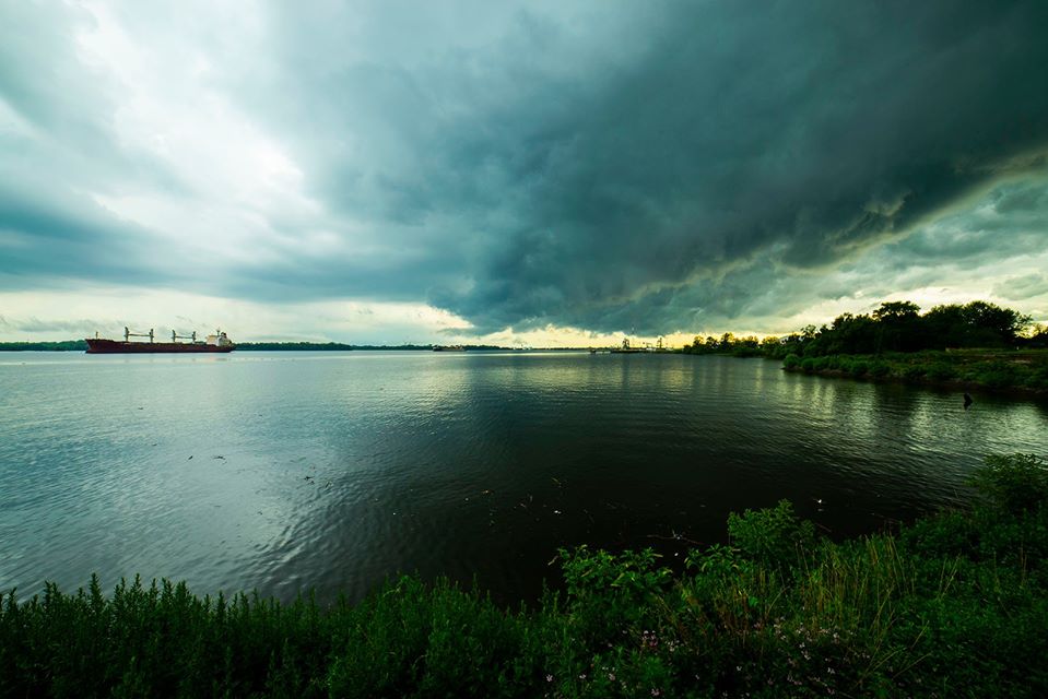 Photo of the Delaware River from Fort Mifflin. Image courtesy of Fort Mifflin.
Note: The above story imagines a completed Schuylkill River Trail (SRT). As of February 2020, 75 miles of the SRT are complete, including a 30-mile section between Philadelphia (the Center City segment of Schuylkill Banks) and Parker Ford. There is a five-mile trail gap between Parker Ford and Pottstown, where the trail continues for another 20 miles to Reading. From there, trail users must follow a 20-mile signed on-road route to Hamburg, where they can access a scenic seven-mile stretch to Auburn and the current northernmost point of the trail.
There are many organizations and municipalities working to complete the SRT. In Philadelphia, SRDC and its partners are working to connect three completed segments and build 4.4 miles of the southernmost portion of the SRT. Click here for an interactive map of the entire SRT to start planning your adventure today!
Get Schuylkill Banks trail updates in your inbox by subscribing to SRDC's monthly newsletter here. Read the rest of SRDC's February newsletter here.
